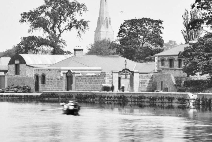
Back in March 2017 I posted these tweets...
'Guinness depot on the Barrow in Carlow - late 1800s(?)
[via NLI Photo Collection - Cropped]'

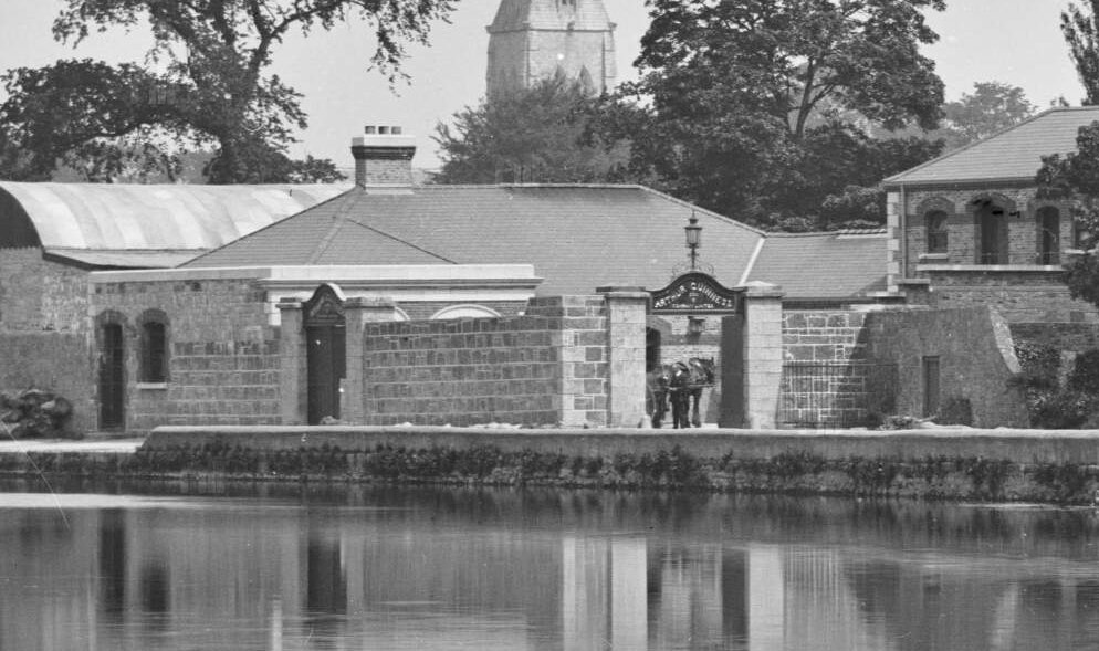
'...Here's a better photo from the same source. If you look through the gate you can see the delivery system post-barge! More likely c. 1900.'

---
The original images are from The Lawrence Photograph Collection on the NLI website are here and here, and you can see St.Anne's church on the Athy road (before it was moved to Graigue to become St. Clare's), and a malthouse and the gasworks chimney in the background. I think this is the building (under the C) via GioHive on the OSI's historic 25inch map.
It would be great to get a name for the gentleman inside that archway!
Edit: Thanks to Charlie Roche (@charleymcguffin on Twitter) here's a photo of the same building from 1948 via the Britain from Above website. I've added the arrow to make it clearer.
It would be great to get a name for the gentleman inside that archway!
Edit: Thanks to Charlie Roche (@charleymcguffin on Twitter) here's a photo of the same building from 1948 via the Britain from Above website. I've added the arrow to make it clearer.
Part of my Tweet-to-Blog-Conversion-Project to give a slightly more permanent and expanded home to some of my previous Tweets.
(My original thread is here)
With thanks to OSI, GeoHive and NLI websites

No comments:
Post a Comment